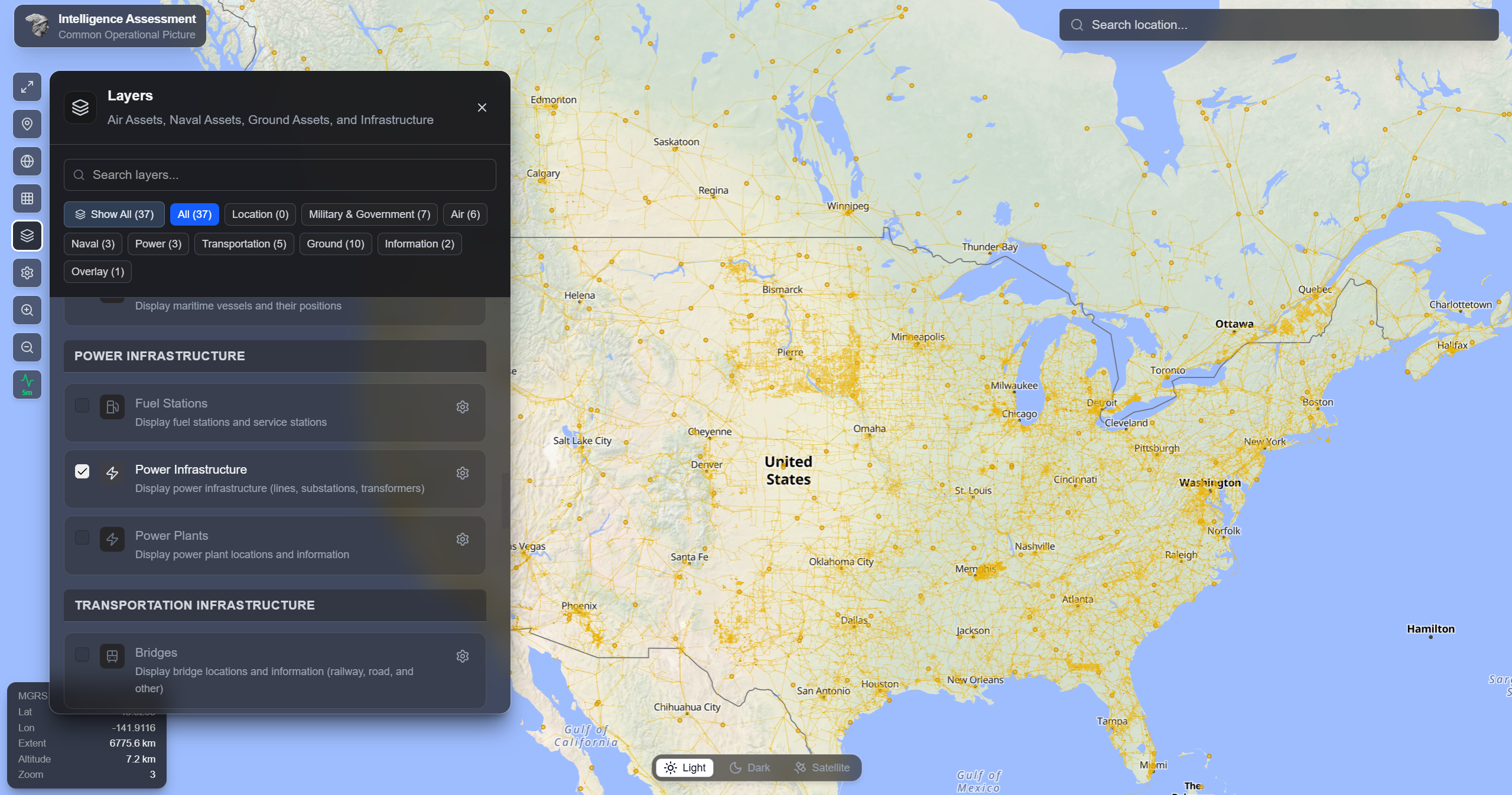
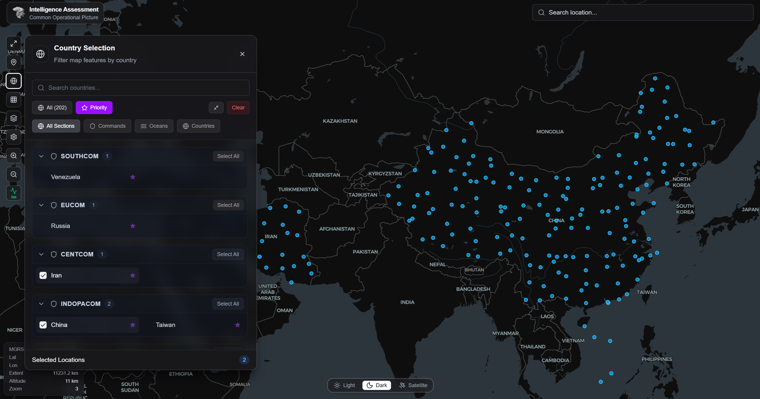
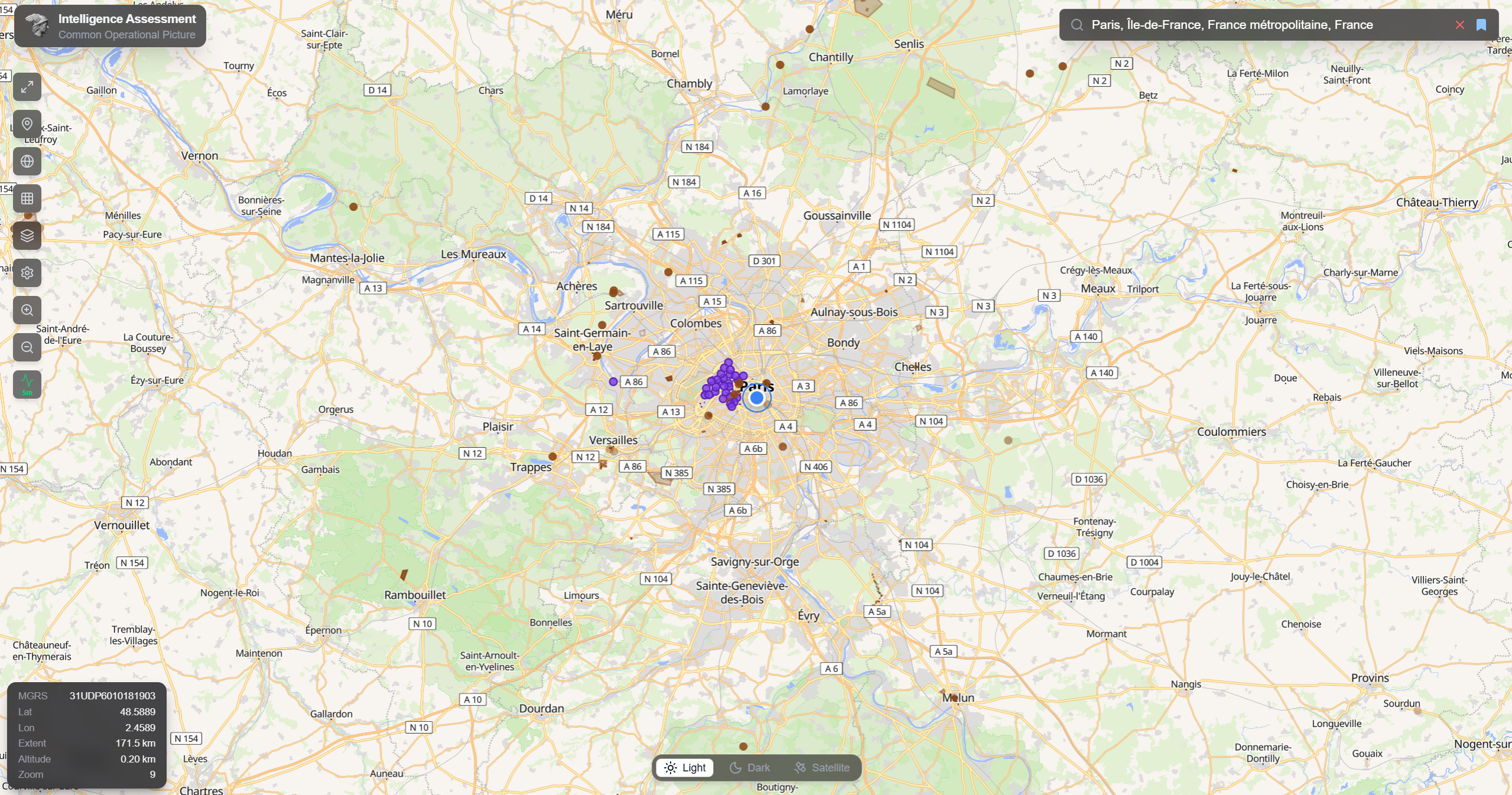
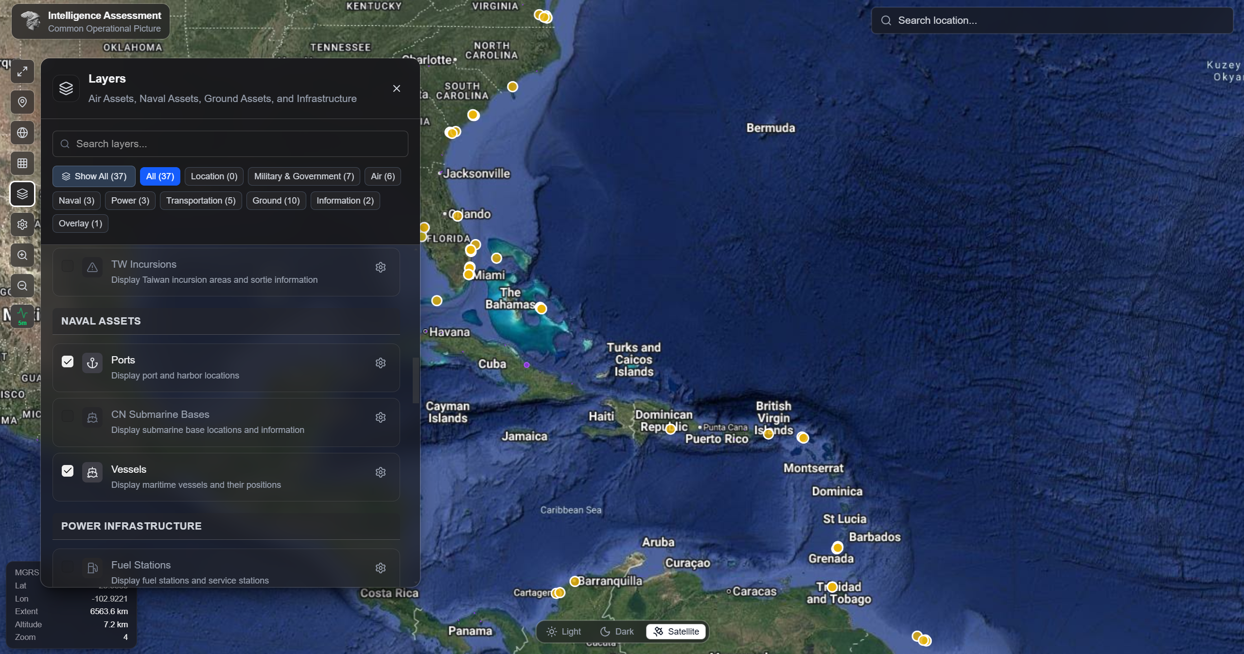
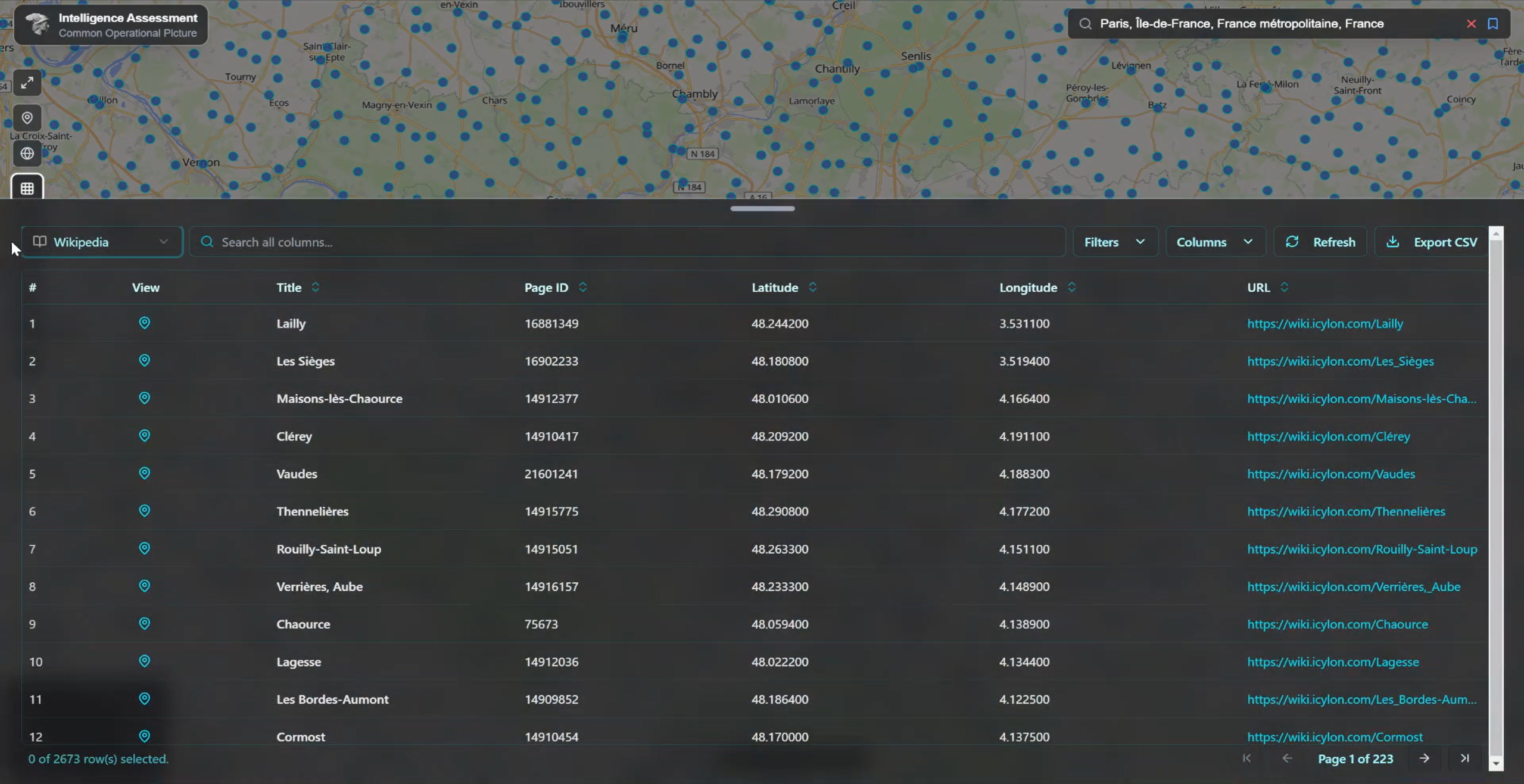
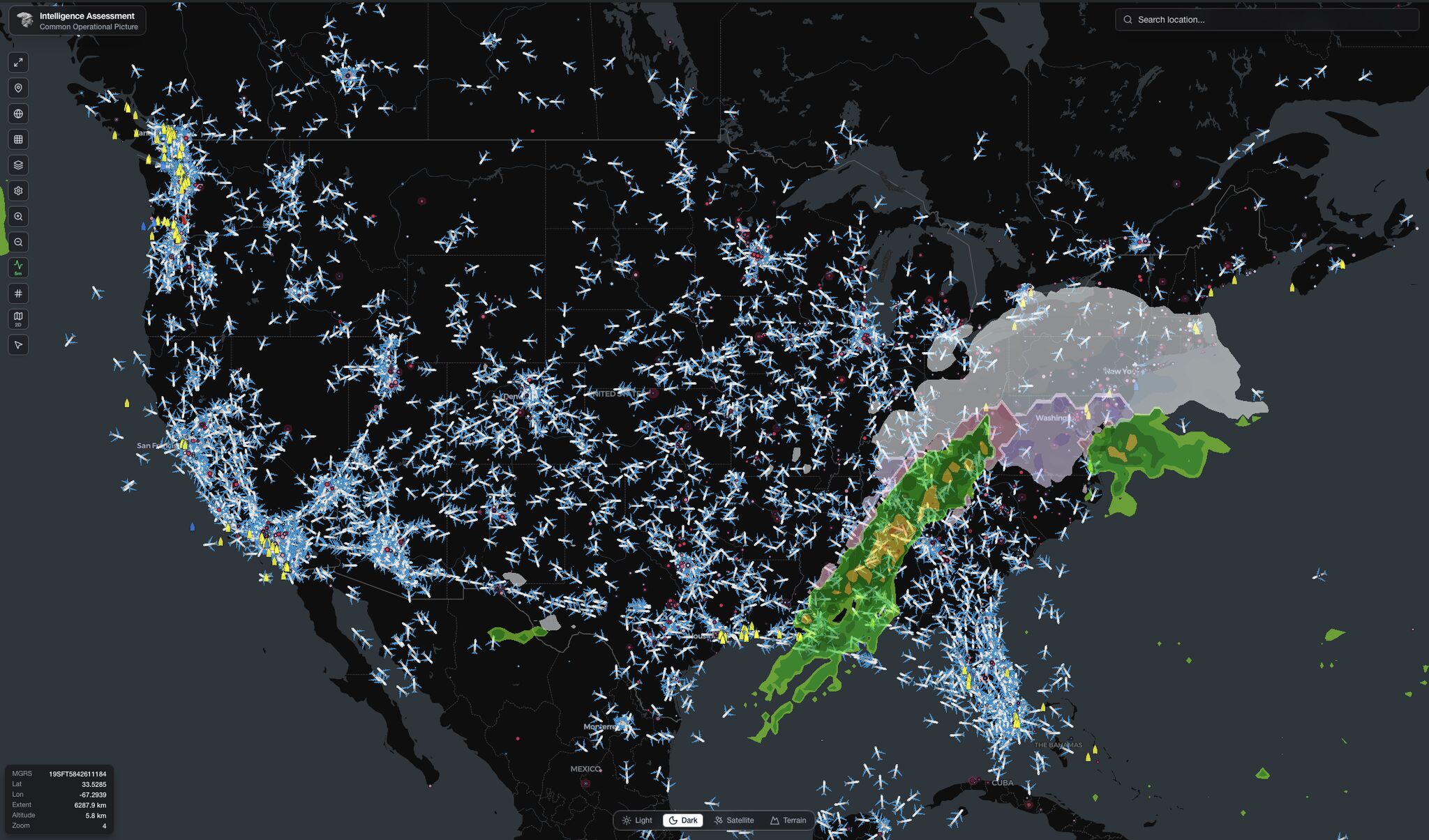
COP provides a real-time, interactive view of global infrastructure data designed for geospatial analysis and situational awareness. It organizes proprietary and open datasets by category, supports global search with advanced filtering, and enables users to focus on specific regions or countries. With strong accessibility features, flexible use of OpenStreetMap (OSM) data—including raw data when needed—and easy export of selected datasets into tables, COP supports deeper analysis and informed decision-making.